Daredevils, adrenaline junkies, and thrill-seekers are some of the words we’d use to describe people looking for adventure and excitement during their travels. Whether it be in the form of extreme skydiving, surfing, or even bungee jumping, there’s an activity out there for anyone courageous enough to try. Driving; while somewhat mundane to most, can be both fun and terrifying depending on the circumstances.
It’s common for drivers in the U.S. to experience terrible traffic and potholes but other drivers around the world often face sheer drops, hairpin bends, or rock slides every day. With that being said, these treacherous driving conditions still aren’t enough to stop some tourists from witnessing these terrifying roads in person. If you’re brave enough, check out this list of the most dangerous roads in the world and find out what makes them so terrifying.
Karakoram Highway – Pakistan to China
Spanning the border between Pakistan and China, Karakoram Highway is also called the “Eighth Wonder of the World.” Weaving through Khunjerab Pass, drivers struggle with landslides, floods, avalanches, and falling rocks, all on a road with no guardrails.
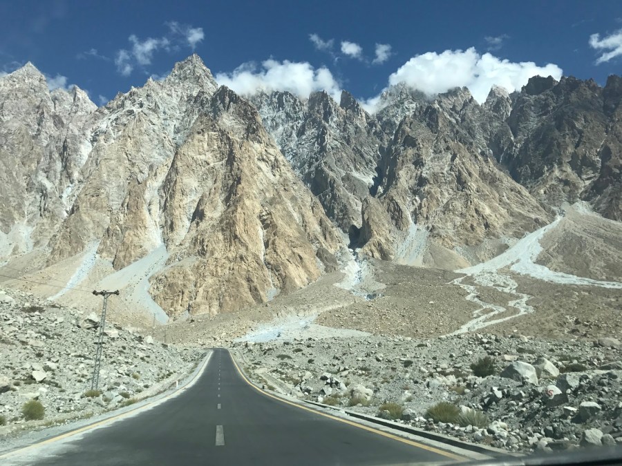
Although many travelers will find the road terrifying, adrenaline junkies will love the massive elevation gain on Karakoram Highway. At its highest point, the road reaches an elevation of 15,466 feet, making Karakoram Highway the highest paved road in the world. Road trippers who enjoy long scenic drives will also appreciate the 800-mile highway for its unbelievable views.
Massive Monsoons at Karakoram Highway
During July and August, heavy monsoons may cause flooding and landslides on Karakoram Highway. In 2010, a monsoon caused cliffs on the roadside to collapse, destroying parts of the highway. The monsoon was so strong that it also damaged infrastructure in Sindh and Khyber-Pakhtunkhwa provinces.
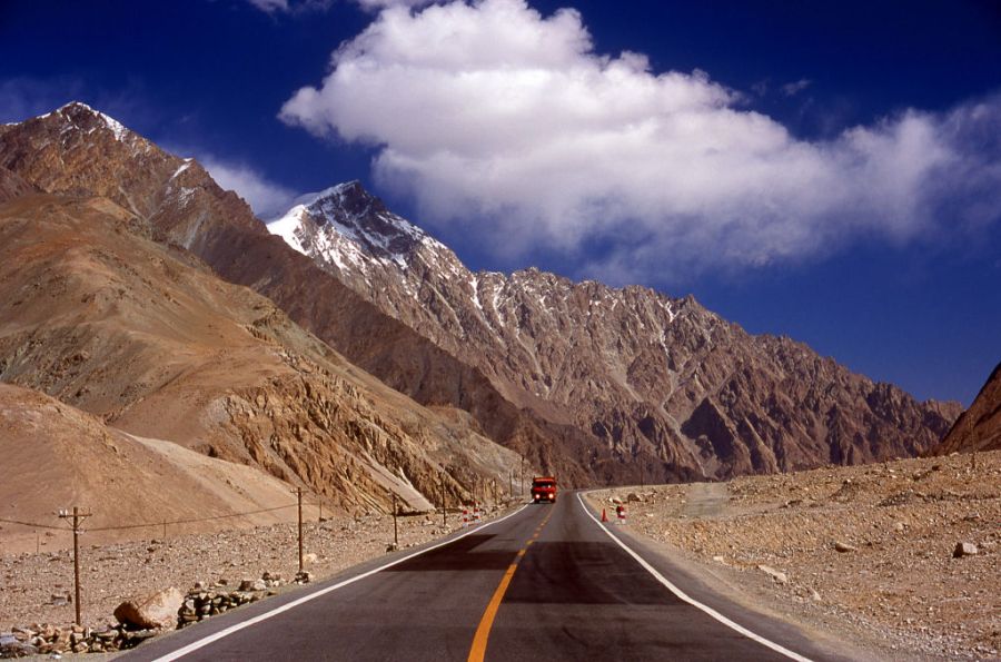
Karakoram Highway can become blocked for hours when a landslide, flood, or avalanche occurs. Want to avoid getting stuck on Karakoram Highway? It’s best for travelers to check the area’s weather and conditions before trying to cross the highway. Driving on the road is unsafe when drivers can’t see the road’s outrageous curves and scary drop-offs due to weather.
Tianmen Shan Big Gate Road – China
From a distance, Tianmen Shan Big Gate Road looks like it belongs in a storybook. Located in Tianmen Mountain National Park in central China, the picturesque road leads to the Tianmen Cave, also called the “Gate of Heaven.”
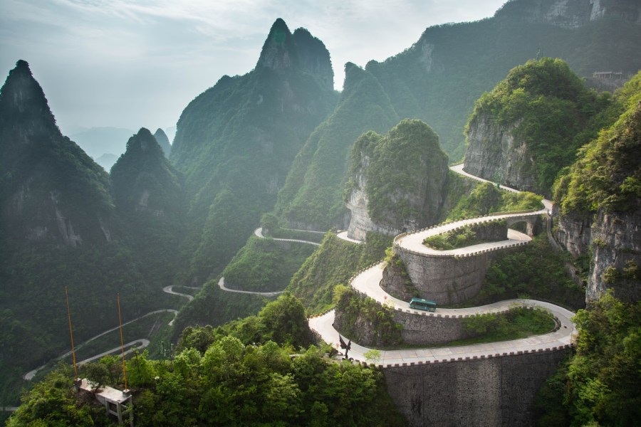
Although this description sounds nice, actually driving on the road is a different story. Tianmen Shan Big Gate Road is also known as 99-Bend Road because of the 99 death-defying hairpin turns along the seven-mile route. After carefully navigating the road’s curves while gaining 3,855 feet of altitude, drivers must face the same danger going down. At every turn, visitors must drive carefully to avoid disaster.
If You’re Too Scared to Drive on Tianmen Shan Big Gate Road
It’s not possible to take a break while driving Tianmen Shan Big Gate Road because there’s nowhere to pull over. Those who prefer to avoid the stress of driving themselves have the option of boarding a bus that goes up to the summit. However, bus riders still have to experience the 99 turns.
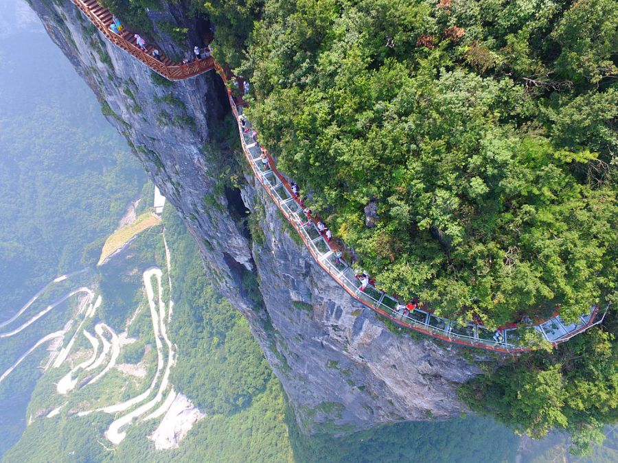
Those with weak constitutions can avoid the road entirely. You can hop on a city-run cable car that climbs to the top of the mountain. The cableway is one of the longest cable rides in the world, taking visitors up 24,458 feet in about 30 minutes.
Pan American Highway – Alaska to Chile
The Pan-American Highway, otherwise known as the world’s longest “motorable” road, runs through two continents: North America and South America. Covering 30,000 miles, the highway stretches from Prudhoe Bay, Alaska to southern Chile.
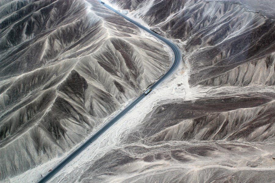
The majority of the U.S. portion is safe, but travelers should be cautious in South America. One of the most dangerous stretches of this infamous highway is in Costa Rica. Those who tackle the stretch of highway between San Isidro de El General and Cartago call it the “Hill of Death.” Drivers on the “Hill of Death” need to stay sharp. It features narrow bends, steep drops, and difficult jungle terrain.
Pan-American Highway Comes With A Lot of Risks
Besides the threats on the “Hill of Death,” drivers using this route will encounter many different environments since the Pan-American Highway extends through mountains, jungles, deserts, and glaciers. Unsurprisingly, driving on this route is easier during the dry season. Travelers face unfavorable conditions during the rainy season, such as high temperatures and impassable areas due to landslides.
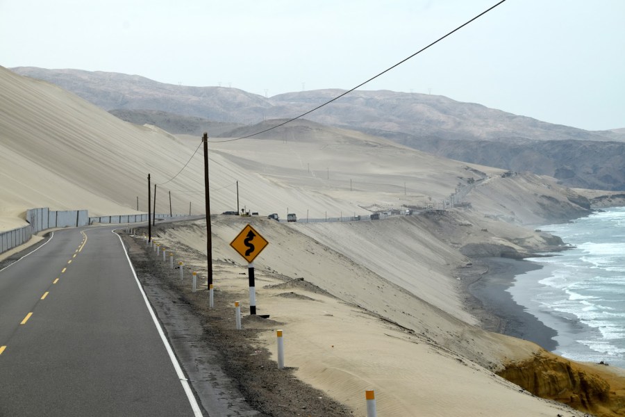
Unfortunately, those aren’t the only dangers drivers have to watch out for. According to Smithsonian Magazine, you should also be wary of other drivers, as accidents on the Pan-American Highway are common. Along Peru’s coast, a memorial sits next to the highway honoring thousands of accident victims.
Sichuan-Tibet Highway – China
Another risky highway is the Sichuan-Tibet Highway, which covers 1,500 miles of mountainous territory and connects China and Tibet. If the possibility of mudslides and avalanches doesn’t make you feel queasy, the high altitude just might do the job: Sections of the winding highway reach up to 16,400 feet. Travelers on this road report feeling dizzy and short of breath due to the high altitude.
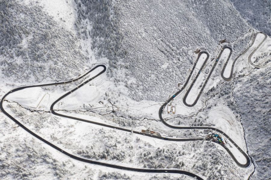
These aren’t all of the problems that will send shivers down your spine. Drivers must also manage slippery terrain, low visibility, and sudden mountainside hairpin turns.
A Risky Journey on Sichuan-Tibet Highway
The Sichuan-Tibet Highway offers breathtaking views of the mountains, rock formations, and monasteries, but before traveling, it’s important to be aware of all potential risks. The BBC warns travelers that the journey comes with “breakdowns, police barricades, constant delays, headaches, and altitude-induced vomit-stained windows.”
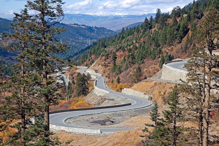
Did we mention that portions of the road are unpaved? When the wet season hits, the road becomes a muddy disaster. Cars can get stuck on this dangerous highway for days. Just when you think it can’t get worse, it does. Harassment, fights, and kidnappings have all been reported during these tough times.
Kolyma Highway – Russia
Have you ever driven across a frozen river or lake? You may get the chance to do so along Russia’s Kolyma Highway. Take note, though, that this highway is full of challenges and dangers. Kolyma Highway is also known as “The Road of Bones,” named after all the prisoners who perished during the road’s construction.
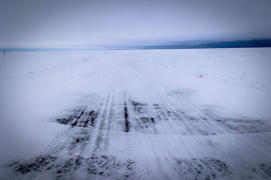
When the extreme cold rolls in, the highway freeze into an icy and slippery nightmare. Yikes! However, some people prefer the iced highway because the river is easier to cross when it’s frozen solid. Beware of sections of this highway with dangerously thin ice. If the ice cracks, your vehicle can fall into the river.
Kolyma Highway is a Trap
If you’re looking for a relaxing drive, don’t plan on taking the Kolyma Highway. The cold season isn’t the only time Kolyma Highway is terrifying and impassable. This highway contains unpaved roads that can turn into a muddy trap during the wet season in July and August.
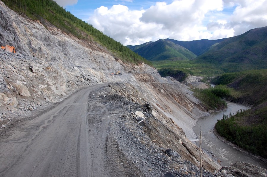
Make sure you find a way to kill the time while you’re stuck. When the path is muddy, vehicles can get stuck for hours or even days. Having a large truck won’t necessarily help you—trucks often get stuck on Kolyma Highway. Imagine how stressful it would be to not be able to get to your destination in time. We recommend avoiding this highway to stay safe and out of the mud.
Skippers Canyon Road – New Zealand
Imagine driving on a narrow road on the side of a near-vertical, crumbling cliff face. Down below, the Shotover River is raging. You’re driving carefully because the road is unpaved and has no guardrails. Suddenly, another car approaches from the opposite direction, but the road is only wide enough for one vehicle. Now, you must figure out how to safely pass each other. On Skippers Canyon Road, also known as Hell’s Gate, drivers face this challenging situation every day.
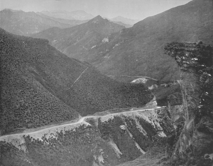
Skippers Canyon Road took seven years to complete. Since 1890, residents and visitors alike have traveled through this canyon to reach the South Island. Most parts of Skippers Canyon Road haven’t changed since workers first carved it out of the cliff over 100 years ago.
16.5 Miles of Hell At Skippers Canyon Road
This road is considered so dangerous that insurance companies don’t accept the claims of those who drive it. For 16.5 long miles, drivers try their best to remain calm and not look down. Hopefully, you won’t encounter another driver going the opposite direction while you’re on the road—if you do, you’ll quickly come to understand why this is one of the world’s most dangerous roads.
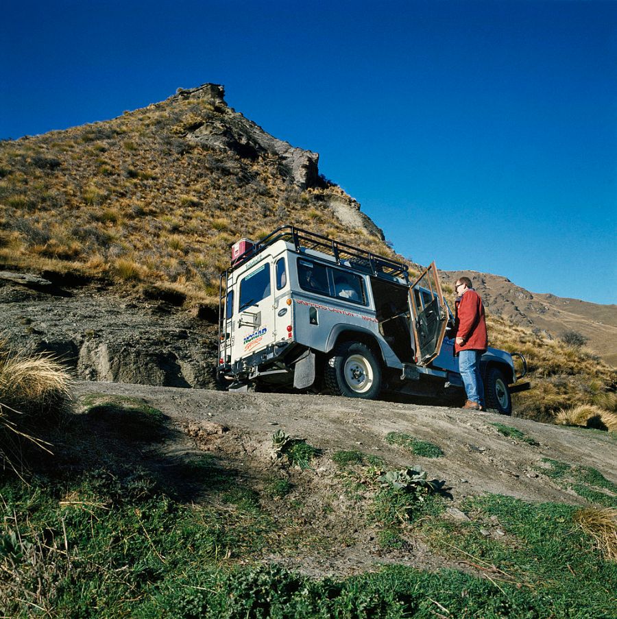
A report by Driving Experience says fatality rates are generally low, but the road has huge drops and it’s so dangerous that drivers need a lot of concentration and patience to get through it. The report adds that visitors are required to have a special permit to even drive on the road. The narrow paths make it extremely difficult to maneuver any vehicle.
North Yungas Road – Bolivia
The North Yungas Road, otherwise known as “The Death Road,” leaves visitors shaking. The 40-mile route connects the La Paz and Coroico cliffs in Bolivia. Living up to its nickname, many people have perished while traveling on the North Yungas Road.
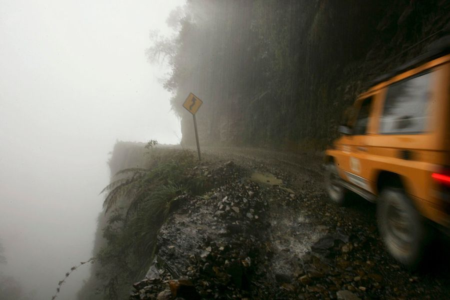
According to Thrillist, over 200 people each year tumble off the cliffs to their deaths in cars, trucks, and public buses. However, BBC News reports up to 300 people a year die at North Yungas Road. This deadly road is not for the faint of heart. Sharp turns and high canyons create an adrenaline-filled experience and the narrow roads are only 10 feet wide.
Going Off the Edge at North Yungas Road
The North Yungas Road comes with many heart-pounding dangers. When it rains, the road becomes muddy and difficult to navigate. BBC News says truckers who get too tired or scared to go on often pull over for the night. These truckers plan to rest until the storm passes. BBC News continues, “But they have parked too close to the edge. And as they sleep in their cabs, the road is washed away around them.”
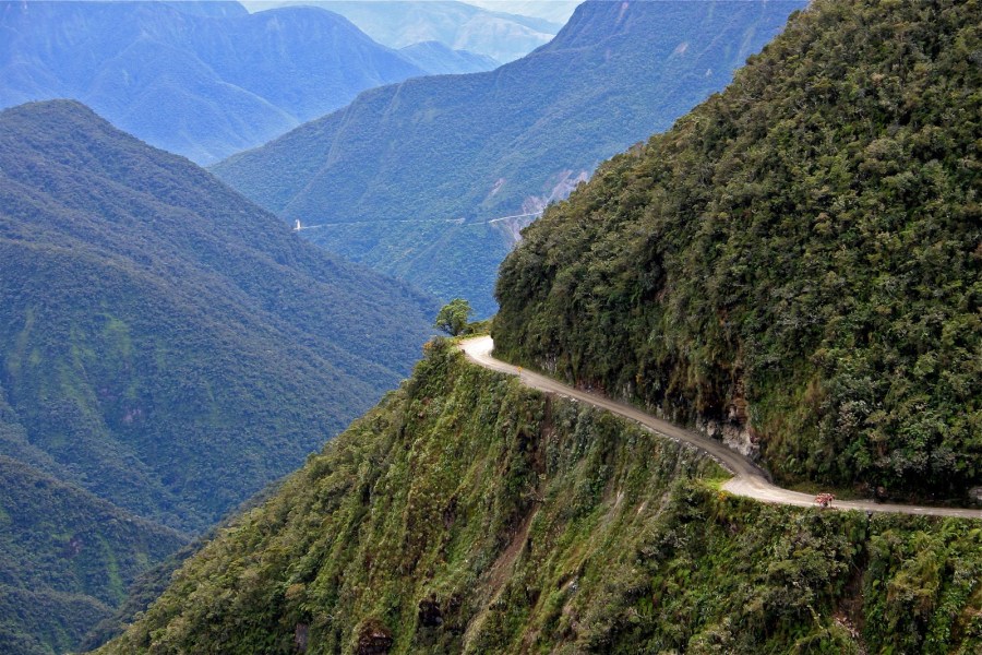
To avoid falling off the edge, make sure to be alert. If you get scared even thinking about possibly dropping off the cliff, it’s best to steer clear of North Yungas Road.
Poor Visibility and Accidents at North Yungas Road
When thick fog and low clouds cause poor visibility, visitors must drive very carefully on this road to avoid falling over the edge or colliding with other vehicles. Poor visibility is even more dangerous when drivers can’t see another car approaching from the opposite direction.
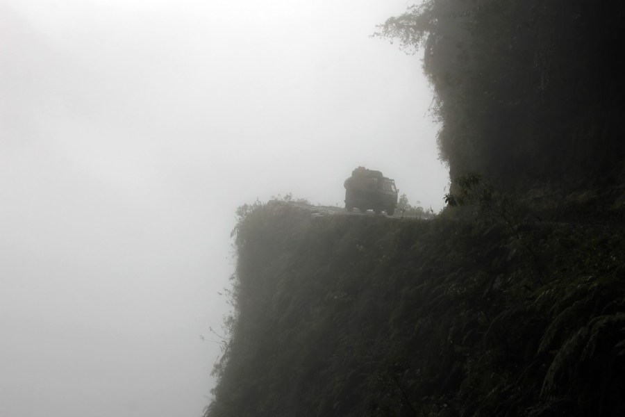
Other conditions that can make it difficult for people to see on the road include dirt flying in the air from vehicles. BBC News reported a fatal accident caused by poor visibility on the road, saying, “the bus driver was dying. Blinded by the dust, he had run into the back of a truck. The bus’s steering column had gone through him—severing his legs.”
North Yungas Road Safety Tips
Although the North Yungas Road is known for deadly falls and accidents, people from afar still visit. To stay safe, we recommend avoiding North Yungas Road, but travelers on Trip Advisor have advice for those risky enough to make the trip. According to these travelers, it’s best to go at your own pace, bring safety equipment, and follow the tour guides.
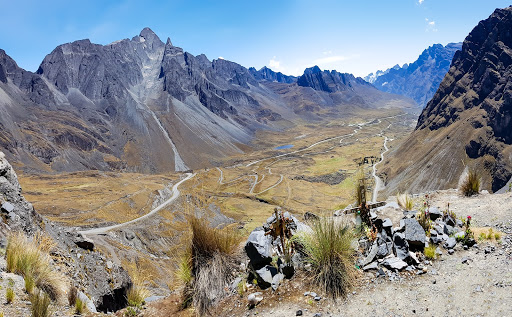
Even though North Yungas Road is crazy and dangerous, people also report that the drive is beautiful. Thrill-seekers suggest mountain biking the road instead of driving for incredible canyon views. Travelers say it’s less stressful to maneuver a bike than a vehicle.
You’ll Lose Your Breath At Skippers Canyon Road
Today, Heritage New Zealand recognizes Skippers Bridge as a protected historical site. Many thrill-seekers make the trip through the canyon for the spectacular views and to see the feat of engineering, which sits 328.1 feet above the river near Queenstown in Central Otago.
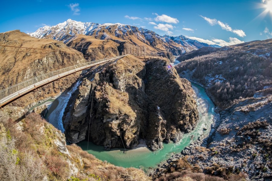
One traveler posted about his experience on Skippers Canyon Road on Trip Advisor saying, “Not only does the view take your breath away…so does the road…especially when you meet oncoming traffic. We were extra lucky as they were filming that day and we got to see a plane fly under the bridge while a helicopter filmed it. If you’re scared of heights think long and hard before booking. There’s a reason it’s listed as one of the world’s most dangerous roads.”
Taroko Gorge Road – Taiwan
Narrow lanes, sharp turns, and blind bends plague Taroko Gorge Road in Taiwan. To make matters worse, the road is located on the side of a cliff. Mother Nature also adds uncertainty to the mix. Taroko Gorge Road frequently experiences rockfalls, landslides, and flooding. After typhoons or earthquakes hit, the road is closed because sections of the road are impassable. Sometimes, important bridges in the canyon get destroyed.
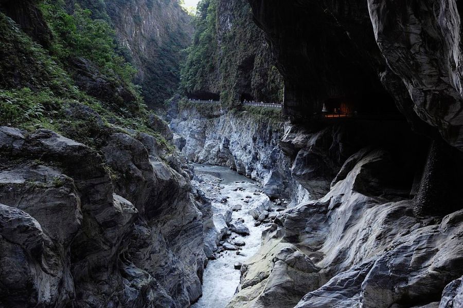
Despite its terrifying reputation, tourists often pass through to visit the gorgeous Taroko National Park. This means the road is often crowded with pedestrians, scooters, cars, and giant tour buses.
Taroko Gorge Road is Scary and Deadly
The National Post reports that 450 people died during the road’s construction. Today, the road can still be deadly—leading to why it makes the list of most dangerous roads. Turning a blind corner into an oncoming vehicle is the highest risk for drivers. Even during the day, authorities encourage travelers to drive the 11.8-mile road with their headlights on at all times to avoid any accidents. This hair-raising journey is not for the faint of heart.
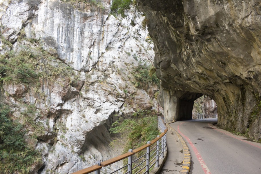
Exclamation-point signs warn drivers about the countless cliffside and hairpin turns. There are also convex roadside mirrors to help drivers avoid collisions. A writer from the National Post survived the treacherous road and wrote about the trip, saying, “I find myself wondering at times whether the light at the end of the tunnel is, in fact, the light at the end of the tunnel … or an oncoming truck with a headlight burnt out.”
James Dalton Highway – Alaska
Many professional truckers use the James Dalton Highway in Alaska. The reality TV show “Ice Road Truckers” features the nerve-racking road in many episodes. What makes this road so dangerous is that only 1/4 of the 414-mile highway is paved.
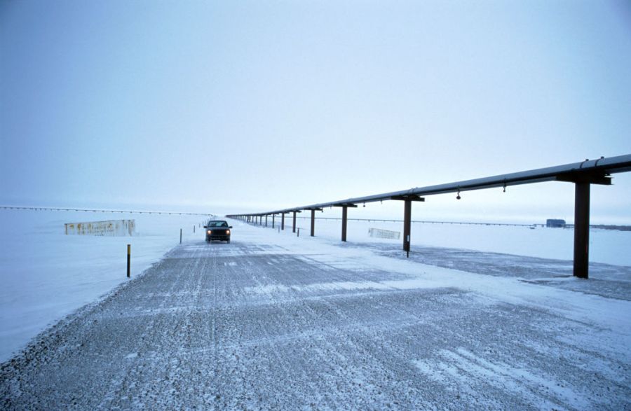
If you’re looking for a smooth and easy road trip, avoid this highway. Extreme cold, poor visibility, and slippery terrain will terrify anyone who takes a chance on this road. This road is also scary due to how isolated it is. During the drive, you’ll notice only three small towns and gas stations, each stop hours apart from the next. If you get into an accident, it may take a while to receive help.
Great Views, But James Dalton Highway is Intimidating
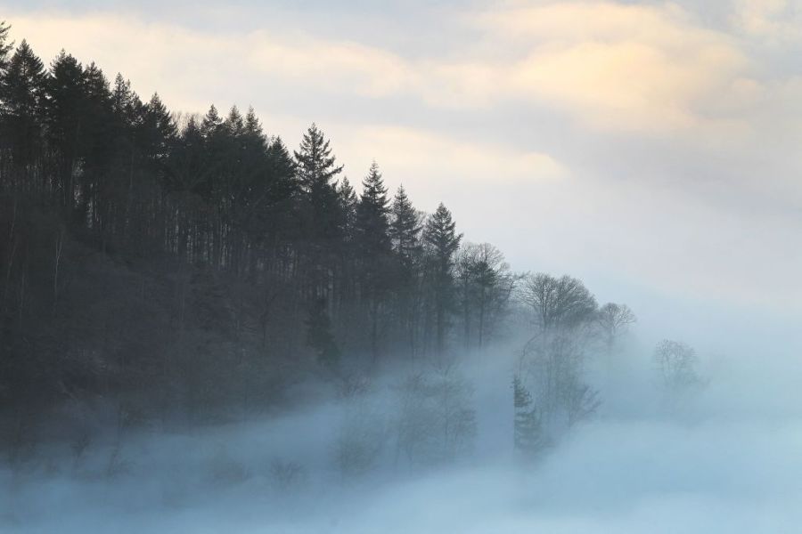
Although the James Dalton Highway makes some people quake in fear, it’s a popular adventure for travelers. Many people visit the road to see the breathtaking scenery. However, there’s a high chance you’ll be white-knuckling the whole drive if you’re not prepared.
On Trip Advisor, travelers mention that a trip on the James Dalton Highway comes with potholes and frequent stops. One user says, “Can be very windy, and passing those huge trucks is scary. Being out there with little amount of people driving by is intimidating. Make sure you have enough gas and let someone know you are on it. Forget cell phones!”
Guoliang Tunnel Road – China
Located in Henan, China, Guoliang Tunnel looks like a scene from a fairytale. Before the road was built, villagers from Guoliang struggled to cross the mountain to reach nearby towns. A set of steps carved into the rocks was the only way to access the Huixian, Xinxiang, and Henan Province of China. However, the locals preferred not to take that unsafe path. As a result, local villagers from Guoliang carved the jaw-dropping tunnel road into the mountainside in 1972.
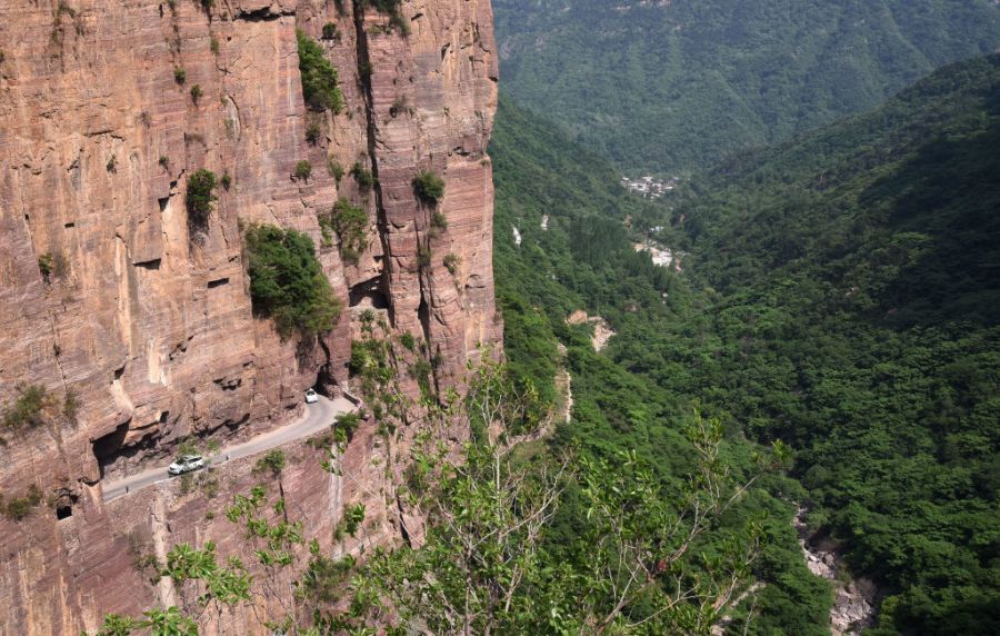
The tunnel attracts tourists from all over the world. Although the landscape appears inviting, the reality is darker than it looks. Guoliang Tunnel Road is considered one of the most dangerous roads in the world.
Less Than a Mile, Yet Guoliang Tunnel Road is Terrifying
Guoliang Tunnel Road’s length is less than one mile, but don’t let the short length fool you — this road is seriously risky. The road has no guardrails, so it’s important that drivers stay close to the mountainside. Drivers also face steep drops and rock falls. The tunnel becomes even more dangerous during rainfall or fog.
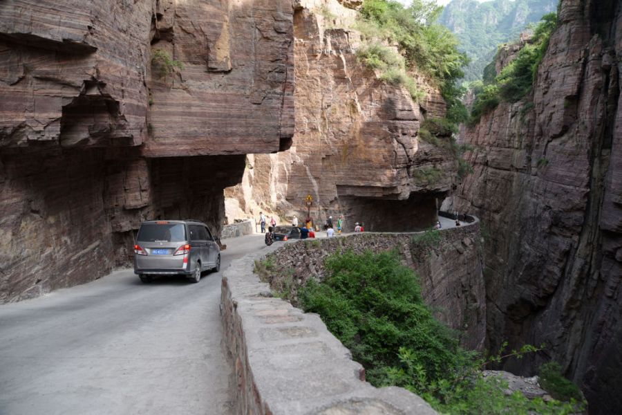
If you want to avoid driving the tunnel yourself, you can hop on a shuttle bus. On Trip Advisor, one visitor reports that the scariest part is driving down the mountain because of the sheer dropoff. The same visitor also reports that the shuttle drivers are impatient and the buses are old.
Zoji La – India
Traveling on roads that weave through enormous mountains is often considered dangerous. One such route is the treacherous Zoji La in India. Most residents need to cross the pass to reach Ladakh and Kashmir. Sitting at an elevation of 11,575 feet, Zoji La isn’t a place for visitors to have a relaxing time.
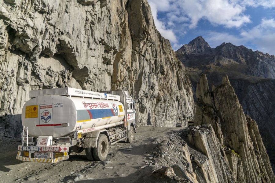
No protective barriers from the cliff’s steep drops may stress some people out. According to travelers on Trip Advisor, the experience of traveling over Zoji La is mind-blowing, thrilling, and scary. One user states, “when trucks have to pass beside you and you’re on the very precipice of the mountain looking down thousands of feet, you’re amazed at the view that could kill you.”
Zoji La Has Up 79 Feet of Snowfall
Zoji La is so narrow, that there’s only room for one car on the unpaved road. Not only is the pass extremely narrow, but heavy snowfall often makes the route impassable. If you’re planning to visit Zoji La Pass, make sure to go when it’s not snowing. The snowfall also often shuts down the pass for almost half the year.
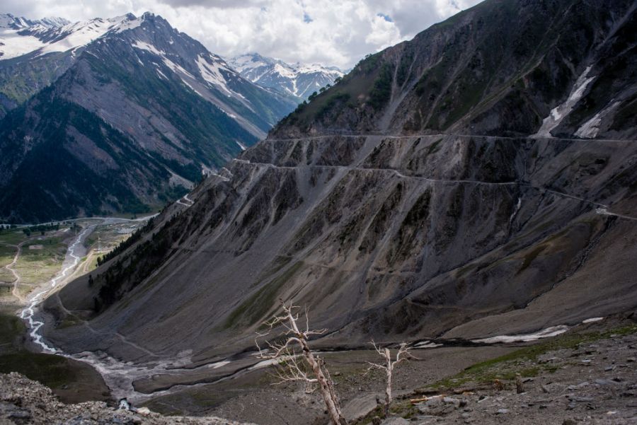
The snowfall adds beauty to the mountain, drawing visitors to the location. However, the roads also become dangerous. According to Daily Mail, police had to rescue 350 people who became stranded on the pass due to the heavy snowfall in 2009. Snowdrifts can often reach 50 to 79 feet high.
Kabul-Jalalabad Highway – Afghanistan
Kabul-Jalalabad Highway connects Kabul and Jalalabad in Afghanistan. The 89-mile road follows the Kabul River Gorge. Drivers face many risks on this treacherous route, including scary cliffs and narrow turns.
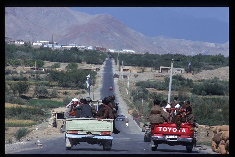
This terrifying road is often crowded with vehicles, despite having two lanes. It’s almost impossible for anyone to turn around during traffic. Drivers often find themselves stuck behind a slow-moving truck. Sometimes the trucks can’t move at all due to their massive size. Traffic is even worse during the winter. In snowy conditions, sections of the highway close, and delays can drag on for hours. Sitting in traffic is probably the safest part of the journey.
Vehicle Mayhem on Kabul-Jalalabad Highway
When there’s no traffic, drivers often speed and crash on the highway. Careless drivers can also find themselves at risk of falling over the edge at each narrow turn. Reckless driving causes many of the fatal traffic accidents on the Kabul-Jalalabad Highway.
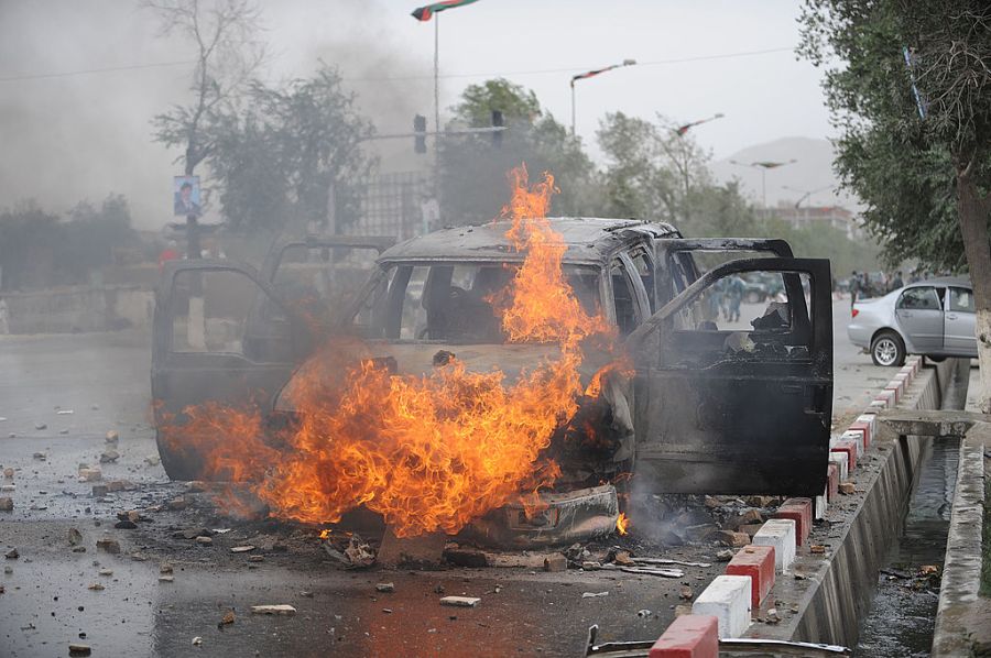
A food seller along the road, Mohammed Nabi, says “I sit right here and watch people crash all day long.” In February 2010, 13 catastrophic accidents took place within two hours on the same day. The majority of the accidents were fatal. In one accident, a family covered in blood cried for their kin trapped in a flattened car. Another accident involved a crushed minibus under a jackknifed truck.
Fairy Meadows Road – Pakistan
Located in Pakistan, Fairy Meadows Road is an unmaintained gravel road. This means that there are no guardrails to keep drivers safe from the sheer drops on one side of the mountain.
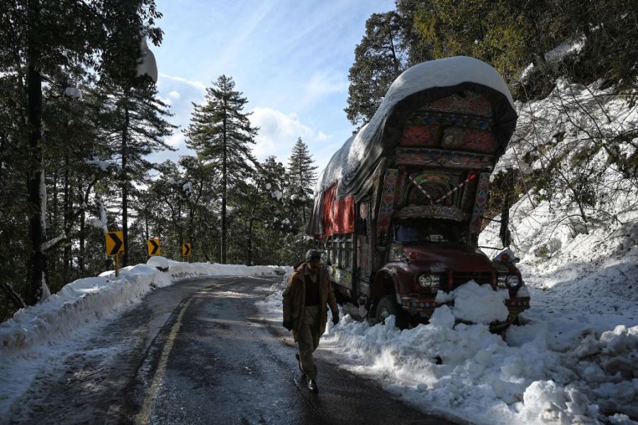
According to Dangerous Roads, the highway gets extremely narrow towards the end, which forces visitors to walk or bike the rest of the road. The path’s width is no bigger than a standard Jeep Wrangler. If drivers get reckless, they may perish on this hair-raising road. You won’t be the only vehicle on the road, so make sure to drive carefully to keep yourself and others safe.
Fairy Meadows Road Contains High Danger
Knowing how treacherous this road is may prevent you from enjoying the view. Besides featuring a deadly narrow path, Fairy Meadows Road includes terrifying heights and unstable terrain. Many roads that aren’t maintained are considered dangerous. Fairy Meadows Road definitely qualifies in this regard, since it has no barriers or a safe terrain.
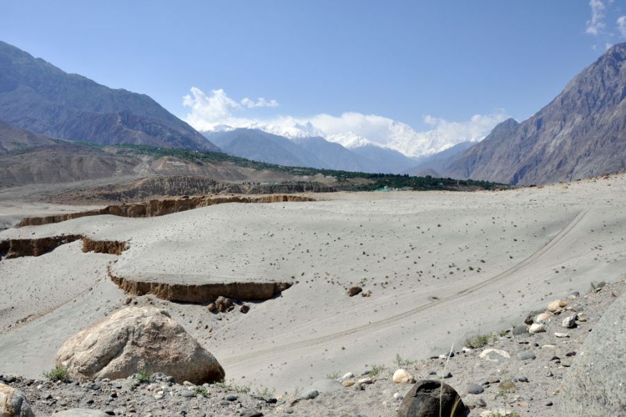
If you’re afraid of heights or dangerous roads in general, we recommend avoiding Fairy Meadows road entirely. Dangerous Roads says that in 2013, Fairy Meadows Road ranked second place on a list of the deadliest highways in the world.
Serious Elevation at Fairy Meadows Road
However, if you’re up for a challenge, many thrill-seekers take this road to climb the ninth highest mountain in the world, Nanga Parbat. Make sure to check when Fairy Meadows Road is closed before visiting. During the winter, authorities close Fairy Meadows Road because of heavy snowfall, often due to the avalanches and ice that frequently damage sections of the road.
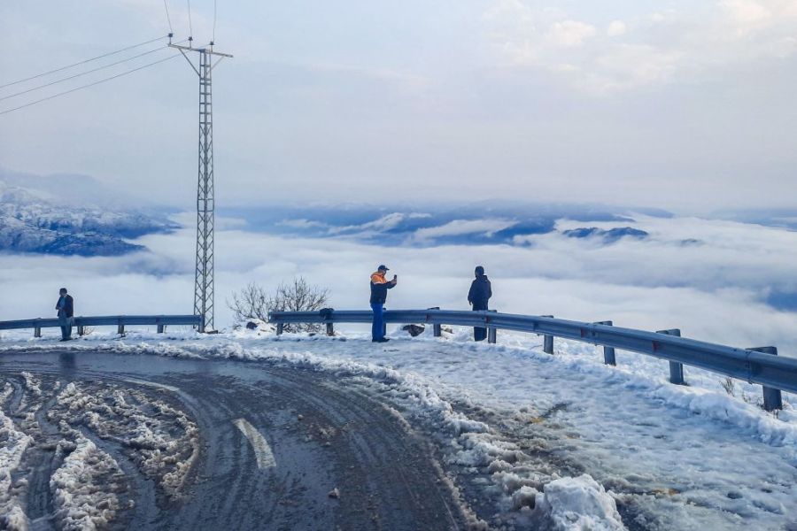
That means the best time to visit is in the summer months, such as June and July. Although travelers say Fairy Meadows Road is an unforgettable experience, other visitors need to know that the road is steep and bumpy. Anyone who gets terrified easily on the road is recommended to stay away.


